Maps and Overviews
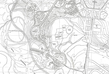
Historical Maps
View a selection of maps highlighting the changing landscape of Acton from 1910 through to 1959, prior to the construction of Lake Burley Griffin. With thanks to the individuals who have supplied us with copies, and the National Library and National Archives for their online resources. View more.
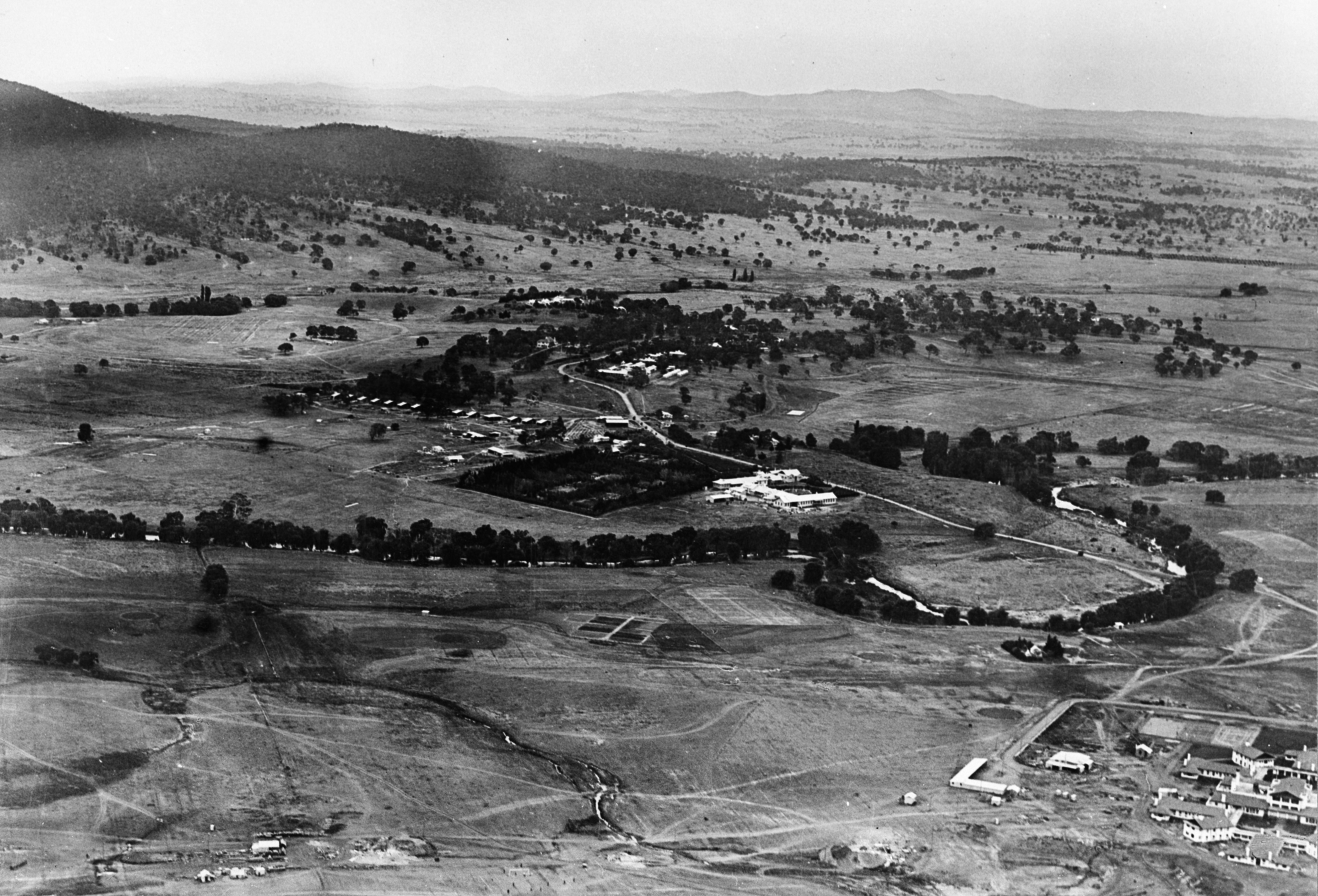
Aerial Views
View a selection of aerial shots of Acton from 1910 to 1940. With thanks to the individuals who have supplied us with copies, and the National Library for their online resources. View More