Acton 1910 (contours)
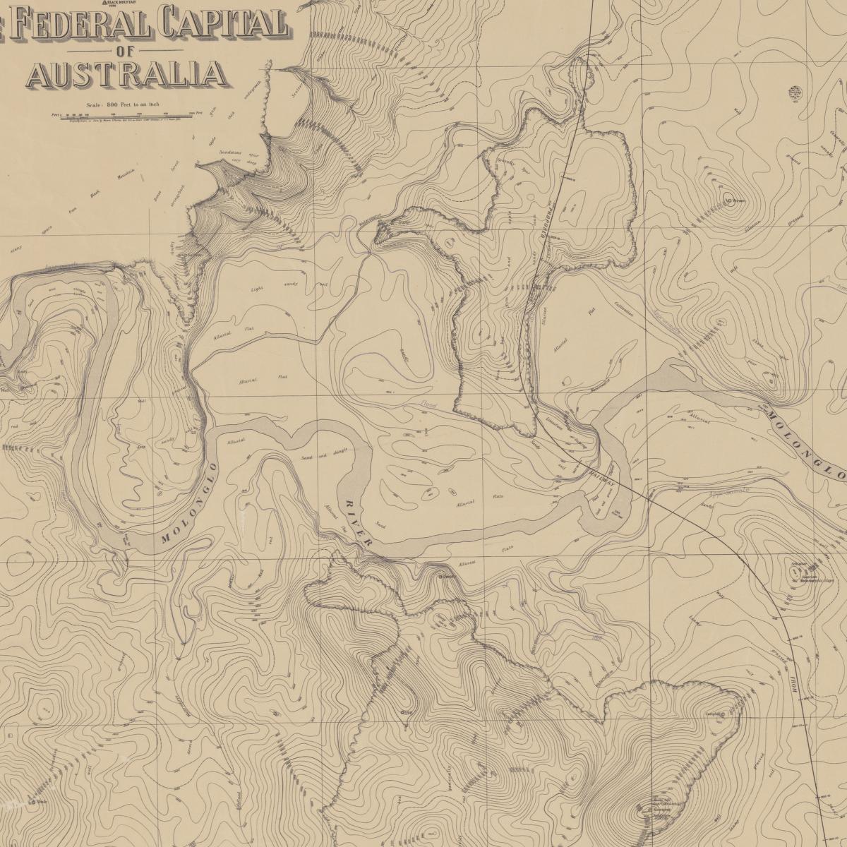
Map of contour survey of the site for the Federal Capital of Australia. Reduced by photolithography from drawing on stone and printed by the Department of Lands, Sydney, New South Wales, from original plan by F. J. Broinowski by authority of the Minister for Lands.
[This map cropped to show Acton. View original from the National Library of Australia Digital Collection]
- Date:
- September 1910
- Credit:
- National Library of Australia: MAP G8984.C3 1910