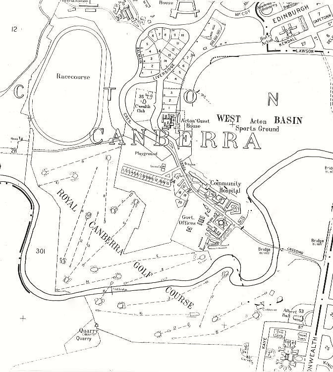
Acton Map 1959 showing tees of the Royal Canberra Golf Course
- Caption
-
Acton Map 1959 showing tees of the Royal Canberra Golf Course. Canberra compiled and drawn by Property and Survey Branch, The Department of The Interior, Canberra, ACT, 1950/revised 1959.
[This map cropped to show Acton]
- Date
- 1959
- Credit
- Original map donated by Frank and Kevin Dunshea