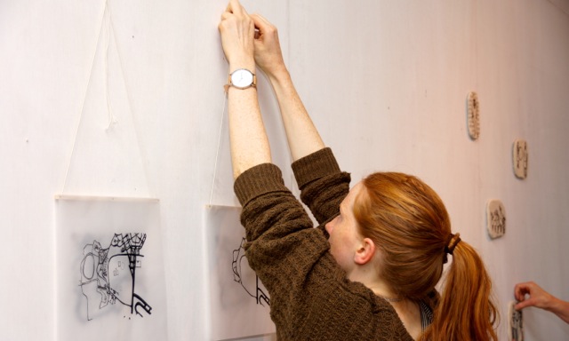
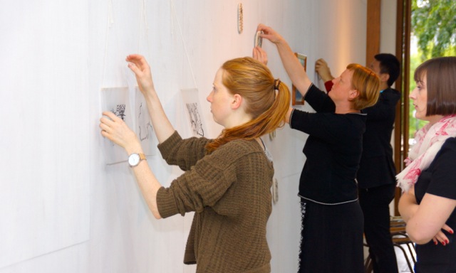
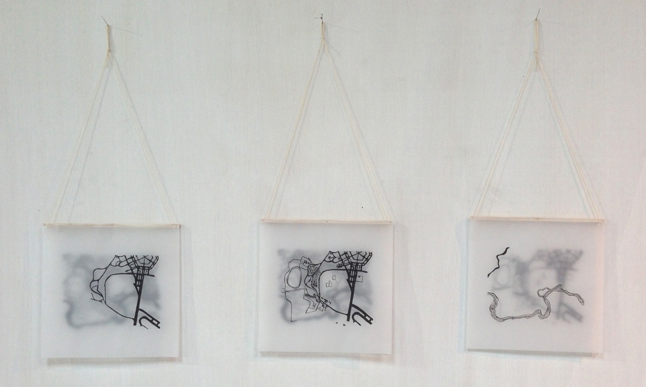
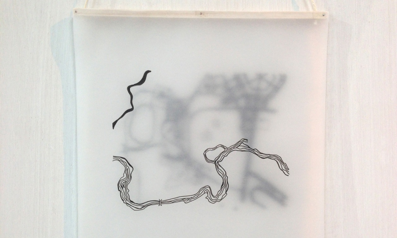
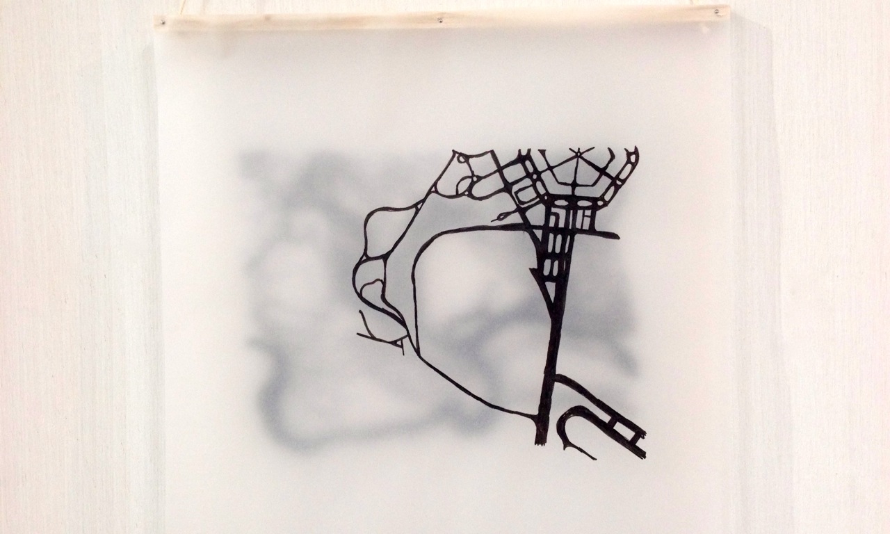
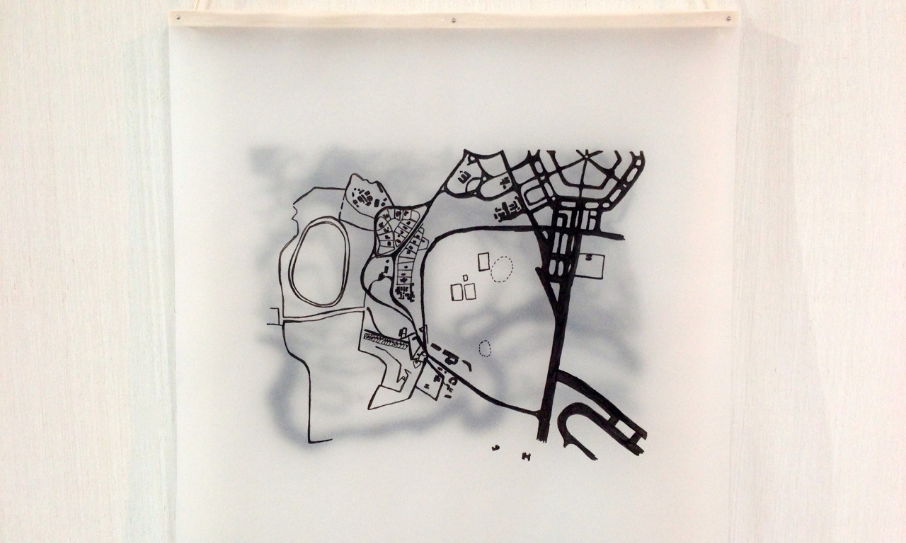
Rosie Goonan
My work focuses on the maps of Early Acton. I have hand drawn and traced several maps from the 1930s that define this unique area in Canberra. The Molonglo River, contour lines of the land, sporting fields, land blocks and roads. I am interested in how each of these relate to each other and how this shaped everyday and cultural life before Lake Burley Griffin was filled. I have produced a series of works where I layer two of the maps so as to provide an insight into the town planning of Acton or the relationship between the natural features of the area and the man-made.